
Vincent Thomas Bridge Closure Requires Continued Regional Coordination
By Michele Grubbs, Vice President, Pacific Merchant Shipping Association
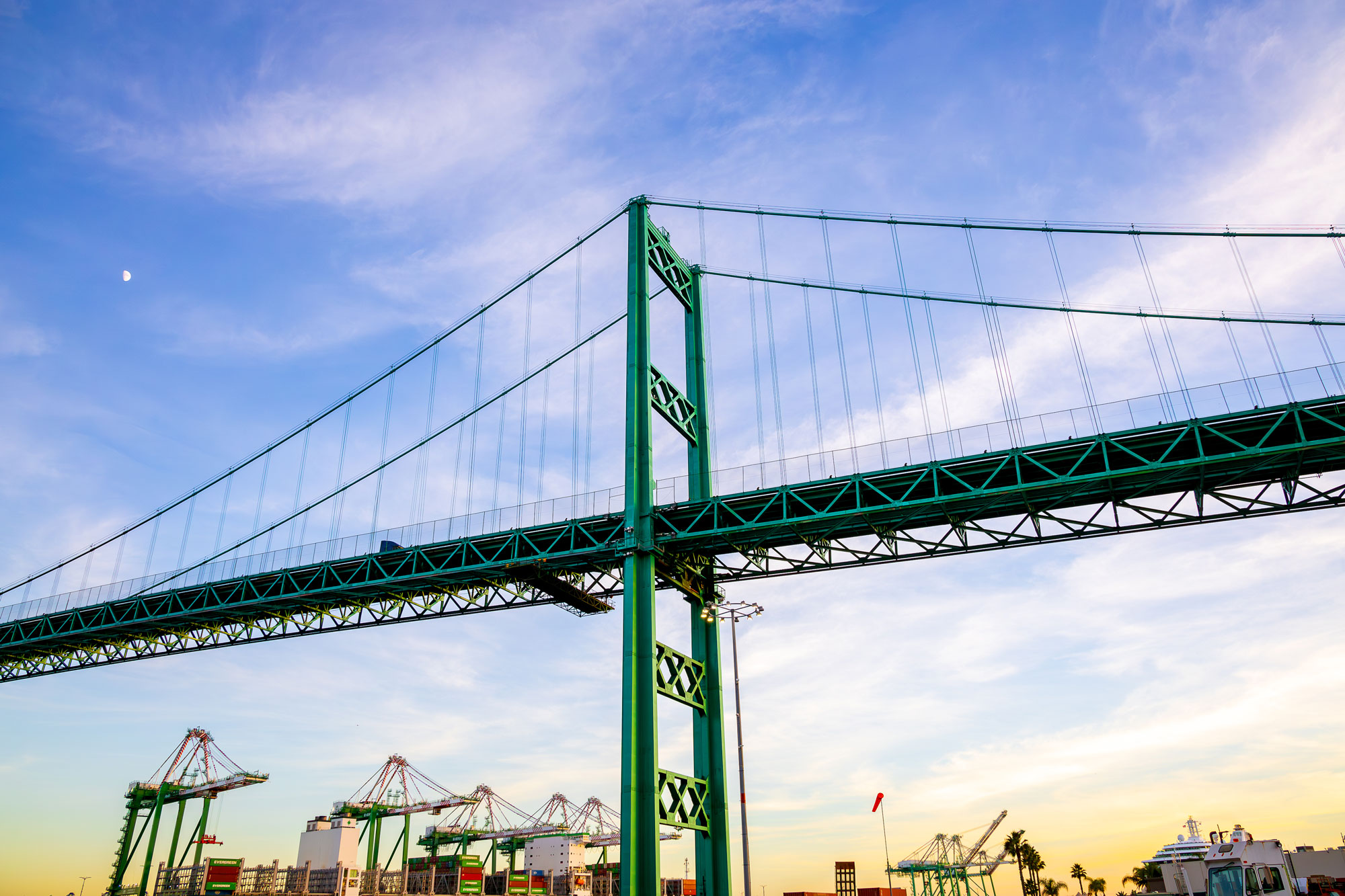
The coming months mark a critical period for one of the world’s busiest trade gateways. On November 1, 2026, the Vincent Thomas Bridge will close for approximately 16 months while crews replace its aging deck. The project remains on schedule, but its success will depend on completing construction on time. State and local agencies, port stakeholders, emergency responders, and affected communities must be prepared to identify problems quickly and work together to resolve them.
The Ports of Los Angeles and Long Beach will remain fully operational throughout construction. Less than 10% of the traffic crossing the bridge is related to port trucking, but the closure will affect regional traffic patterns and place additional pressure on surrounding streets. Keeping freight, commuters and emergency vehicles moving will require sustained attention from Caltrans, the cities of Los Angeles and Long Beach, the ports and the broader supply chain community.
The project has already demonstrated that closures can be managed effectively. As of August 24, over 100 overnight directional closures have occurred since construction began on March 23. During each closure, one direction was closed while traffic continued in the other. Cargo continued moving efficiently, with no significant disruption to port operations.
Although the full closure will present a greater challenge, extensive preparations are underway. Protective shielding has been installed beneath the bridge, allowing deck-replacement work to proceed without interrupting vessel navigation. Road improvements are also underway along Harry Bridges Boulevard, Alameda Street, Henry Ford Avenue, Anaheim Street, East I Street, Ferry Street and other detour routes. Most of this work is taking place overnight to limit impacts on freight, commuters, and nearby communities.
Traffic cameras are being installed throughout the corridor, Caltrans QuickMap is being enhanced with live conditions, and coordination with Google and Apple will help incorporate detours into the mapping tools drivers already use. Weekly construction updates and advance notice of traffic changes will provide additional information. These measures are essential, but technology and infrastructure alone will not be enough.
Since April 2025, Caltrans and regional stakeholders have held monthly coordination meetings involving the two ports, marine terminal operators, ocean carriers, truckers , railroads, trade associations, organized labor, emergency responders, local governments and navigation authorities. These meetings provide a forum to discuss construction sequencing, traffic mitigation, emergency response and marine-navigation logistics before problems become costly disruptions.
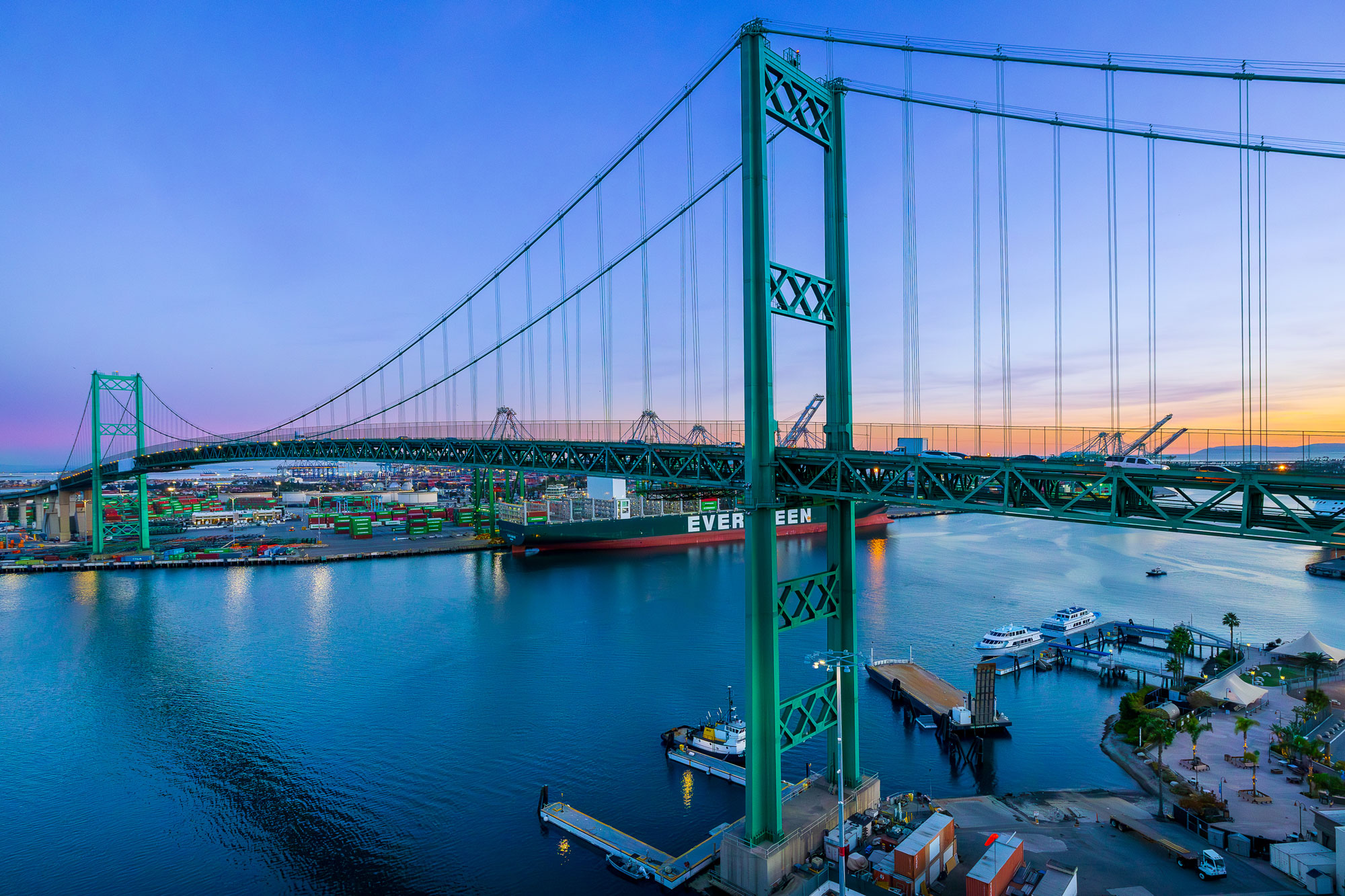
That coordination must continue and become even more responsive after the bridge closes. Agencies and stakeholders should establish clear communication protocols, identify who has the authority to address specific problems and be prepared to adjust traffic controls, signal timing, detours and enforcement as conditions change. Emergency responders must have reliable access routes, and businesses and communities need timely, consistent information.
These next few months before November 1 will be busy testing plans, closing remaining gaps and preparing for realistic scenarios, including accidents, disabled vehicles, road damage, severe weather and congestion near port terminals. No project of this scale will proceed without challenges. The measure of success will be how quickly the region recognizes and resolves them.
We are appreciative that Caltrans is working closely with stakeholders and surrounding communities. Maintaining that partnership will be critical. The state, cities, ports, and supply chain community must remain at the table, communicate openly, and be ready to act when issues arise.
The work will not end with the deck replacement. The Port of Los Angeles, Caltrans and the California State Transportation Agency are evaluating longer-term options for modifying or replacing the bridge, including increasing its 185-foot clearance to accommodate larger container vessels. This planning reflects the same responsibility facing the region today: addressing immediate needs while preparing the San Pedro Bay gateway for the future.